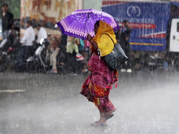
Maharashtra is bracing for intense rainfall starting today, Monday, May 19th, as the India Meteorological Department (IMD) has issued a forecast of heavy to very heavy showers across multiple regions. These areas include Konkan, Vidarbha, and parts of Central Maharashtra, signaling a significant increase in pre-monsoon activity, reported CNBC TV 18.
Dark clouds and intermittent rainfall have already swept through several districts, providing temporary relief from the persistent heat.
In Mumbai, light showers commenced late Sunday night and continued into Monday morning with scattered drizzles. The city is now under overcast skies, increasing the likelihood of heavier downpours throughout the day. The IMD has issued a warning for potential heavy rainfall in Mumbai and its surrounding areas, which is expected to bring much-needed respite from the recent sweltering conditions.
The coastal district of Ratnagiri in Konkan awoke to steady rainfall today. Over the past week, the Konkan belt has experienced intermittent showers. On the evening of May 18th, intense rainfall struck parts of the Sahyadri hills, leading to power outages in some remote villages.
The monsoon has officially reached the Andaman region and is anticipated to arrive in Kerala around May 27th. Following this, it will progress towards the Konkan coast, marking the official commencement of the rainy season in Maharashtra. In the Nandura region of Buldhana district, pre-monsoon rain took a dramatic turn with a two-hour period of heavy rainfall accompanied by strong winds. This downpour disrupted normal life and caused damage to local infrastructure. A railway gate on the Nandura-Burhanpur route malfunctioned due to the rain, resulting in a traffic jam stretching over four kilometers. Additionally, in some areas, the gusty winds tore off rooftops of houses.
The IMD has also issued a forecast for thunderstorms with lightning and gusty winds across Marathwada starting from Tuesday, May 20th. Meanwhile, districts in Vidarbha could experience isolated heavy showers in the coming days. According to weather officials, Maharashtra is likely to experience turbulent weather conditions between May 17th and May 20th, particularly in the western and coastal regions.
Environmental experts emphasize the crucial role of this pre-monsoon activity for the state’s agricultural cycle. While it may cause temporary disruptions, it helps replenish groundwater levels and prepares the land for the upcoming sowing season. However, authorities are urging citizens to remain vigilant, especially in vulnerable areas prone to waterlogging and infrastructure damage during sudden heavy spells. As the monsoon draws closer, this initial phase has already begun, transforming the landscape from the Sahyadri hills to the Konkan coast. Maharashtra is currently undergoing nature’s seasonal transition, which promises to cool the earth but may also challenge civic infrastructure if not proactively managed. The weather patterns over the next few days will be critical in determining the intensity of this year’s monsoon entry into the state.


